
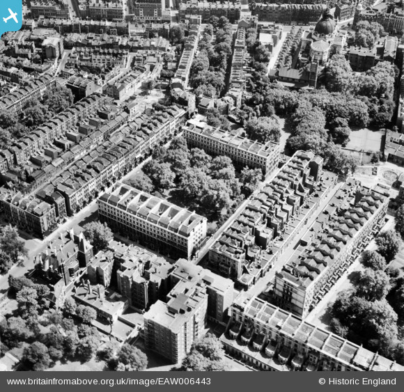
EAW006443 ENGLAND (1947). Ennismore Gardens and surrounding streets, Knightsbridge, 1947
© Copyright OpenStreetMap contributors and licensed by the OpenStreetMap Foundation. 2026. Cartography is licensed as CC BY-SA.
Nearby Images (13)
EAW006443

EAW006440

EAW006445

EAW006444

EAW006437

EAW006439

EAW006441

EAW006442

EAW006438

EAW000554

EAW000556

EPW010190

EAW015858

Details
| Title | [EAW006443] Ennismore Gardens and surrounding streets, Knightsbridge, 1947 |
| Reference | EAW006443 |
| Date | 2-June-1947 |
| Link | |
| Place name | KNIGHTSBRIDGE |
| Parish | |
| District | |
| Country | ENGLAND |
| Easting / Northing | 527079, 179425 |
| Longitude / Latitude | -0.1690220118109, 51.498976457151 |
| National Grid Reference | TQ271794 |
Pins

MB |
Saturday 9th of November 2013 10:46:02 AM | |
|
MB |
Saturday 9th of November 2013 10:44:01 AM | |
|
MB |
Saturday 9th of November 2013 10:43:32 AM | |
|
MB |
Saturday 9th of November 2013 10:40:04 AM | |
|
MB |
Saturday 9th of November 2013 10:38:48 AM | |
|
MB |
Saturday 9th of November 2013 10:34:52 AM |