
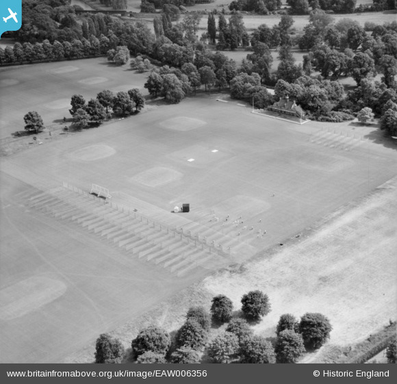
EAW006356 ENGLAND (1947). Agars Plough Cricket Ground and Pavilion, Eton, 1947
© Copyright OpenStreetMap contributors and licensed by the OpenStreetMap Foundation. 2026. Cartography is licensed as CC BY-SA.
Nearby Images (2)
EAW006356

EAW023975

Details
| Title | [EAW006356] Agars Plough Cricket Ground and Pavilion, Eton, 1947 |
| Reference | EAW006356 |
| Date | 5-June-1947 |
| Link | |
| Place name | ETON |
| Parish | ETON |
| District | |
| Country | ENGLAND |
| Easting / Northing | 497111, 178514 |
| Longitude / Latitude | -0.60089751832454, 51.496731483812 |
| National Grid Reference | SU971785 |
Pins
Be the first to add a comment to this image!