
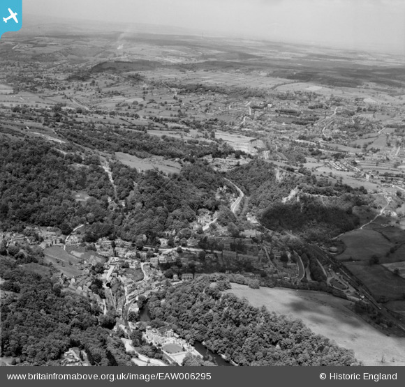
EAW006295 ENGLAND (1947). The village and Matlock Dale, Matlock Bath, from the south, 1947
© Copyright OpenStreetMap contributors and licensed by the OpenStreetMap Foundation. 2025. Cartography is licensed as CC BY-SA.
Nearby Images (2)
EAW006295

EPW053162

Details
| Title | [EAW006295] The village and Matlock Dale, Matlock Bath, from the south, 1947 |
| Reference | EAW006295 |
| Date | 25-May-1947 |
| Link | |
| Place name | MATLOCK BATH |
| Parish | MATLOCK BATH |
| District | |
| Country | ENGLAND |
| Easting / Northing | 429457, 358239 |
| Longitude / Latitude | -1.5597991859708, 53.120217267958 |
| National Grid Reference | SK295582 |
Pins

ClareHerbert |
Saturday 11th of December 2021 06:33:18 AM | |
|
ClareHerbert |
Saturday 11th of December 2021 06:32:22 AM | |
|
ClareHerbert |
Saturday 11th of December 2021 06:25:23 AM | |
|
John W |
Friday 9th of September 2016 09:49:41 PM |