
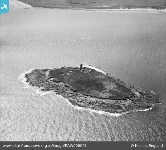
EAW006061 ENGLAND (1947). Coquet Island and the Northumberland Coast, Coquet Island, 1947
© Copyright OpenStreetMap contributors and licensed by the OpenStreetMap Foundation. 2026. Cartography is licensed as CC BY-SA.
Nearby Images (2)
EAW006061

EAW006060

Details
| Title | [EAW006061] Coquet Island and the Northumberland Coast, Coquet Island, 1947 |
| Reference | EAW006061 |
| Date | 21-May-1947 |
| Link | |
| Place name | COQUET ISLAND |
| Parish | HAUXLEY |
| District | |
| Country | ENGLAND |
| Easting / Northing | 429307, 604546 |
| Longitude / Latitude | -1.5379601183215, 55.334056485502 |
| National Grid Reference | NU293045 |
Pins

Matt Aldred edob.mattaldred.com |
Thursday 26th of November 2020 09:55:13 PM |