
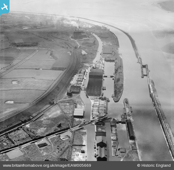
EAW005669 ENGLAND (1947). Francis Dock, Alfred Dock and the Manchester Ship Canal, Runcorn, 1947
© Copyright OpenStreetMap contributors and licensed by the OpenStreetMap Foundation. 2026. Cartography is licensed as CC BY-SA.
Nearby Images (4)
EAW005669

EAW005674

EAW005670

EAW023479

Details
| Title | [EAW005669] Francis Dock, Alfred Dock and the Manchester Ship Canal, Runcorn, 1947 |
| Reference | EAW005669 |
| Date | 15-May-1947 |
| Link | |
| Place name | RUNCORN |
| Parish | |
| District | |
| Country | ENGLAND |
| Easting / Northing | 350095, 382602 |
| Longitude / Latitude | -2.7495650498279, 53.337697087443 |
| National Grid Reference | SJ501826 |
Pins

Bottom Yard |
Saturday 18th of January 2025 04:06:10 PM | |
|
Bottom Yard |
Sunday 17th of February 2019 04:56:52 PM | |
|
Bottom Yard |
Sunday 17th of February 2019 04:49:28 PM | |
|
Bottom Yard |
Sunday 17th of February 2019 04:46:48 PM | |
|
Bottom Yard |
Wednesday 9th of January 2019 03:19:16 PM | |
|
Bottom Yard |
Wednesday 9th of January 2019 03:17:25 PM | |
|
redmist |
Wednesday 26th of December 2018 12:02:28 PM | |
|
redmist |
Wednesday 26th of December 2018 11:58:39 AM | |
|
Graham Yaxley |
Monday 17th of August 2015 10:34:34 PM |