
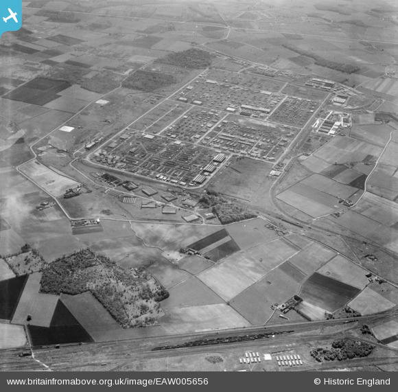
EAW005656 ENGLAND (1947). The site of Knowsley Industrial Estate and the surrounding countryside, Kirkby, 1947
© Copyright OpenStreetMap contributors and licensed by the OpenStreetMap Foundation. 2026. Cartography is licensed as CC BY-SA.
Nearby Images (6)
EAW005656

EAW005655

EAW046994

EAW005654

EAW046993

EAW005554
, Kirkby, 1947. This image has been produced from a print.")
Details
| Title | [EAW005656] The site of Knowsley Industrial Estate and the surrounding countryside, Kirkby, 1947 |
| Reference | EAW005656 |
| Date | 15-May-1947 |
| Link | |
| Place name | KIRKBY |
| Parish | |
| District | |
| Country | ENGLAND |
| Easting / Northing | 343243, 399526 |
| Longitude / Latitude | -2.8555167092877, 53.489129274655 |
| National Grid Reference | SJ432995 |
Pins

Matt Aldred edob.mattaldred.com |
Friday 28th of March 2025 05:46:24 PM | |
|
Matt Aldred edob.mattaldred.com |
Friday 28th of March 2025 05:45:25 PM | |
|
Matt Aldred edob.mattaldred.com |
Friday 28th of March 2025 05:43:54 PM | |
|
Matt Aldred edob.mattaldred.com |
Friday 28th of March 2025 05:43:29 PM | |
|
Matt Aldred edob.mattaldred.com |
Friday 28th of March 2025 05:43:06 PM | |

austin |
Sunday 27th of November 2022 11:26:42 AM | |
|
austin |
Friday 29th of May 2020 08:12:56 AM |