
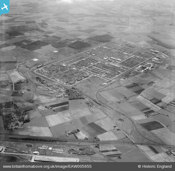
EAW005655 ENGLAND (1947). The site of Knowsley Industrial Estate and the surrounding countryside, Kirkby, 1947
© Copyright OpenStreetMap contributors and licensed by the OpenStreetMap Foundation. 2026. Cartography is licensed as CC BY-SA.
Nearby Images (5)
EAW005655

EAW005654

EAW005554
, Kirkby, 1947. This image has been produced from a print.")
EAW005656

EAW046993

Details
| Title | [EAW005655] The site of Knowsley Industrial Estate and the surrounding countryside, Kirkby, 1947 |
| Reference | EAW005655 |
| Date | 15-May-1947 |
| Link | |
| Place name | KIRKBY |
| Parish | |
| District | |
| Country | ENGLAND |
| Easting / Northing | 343140, 399332 |
| Longitude / Latitude | -2.8570339169744, 53.487374389183 |
| National Grid Reference | SJ431993 |
Pins

austin |
Friday 28th of February 2020 03:42:26 PM | |
|
austin |
Friday 28th of February 2020 03:40:17 PM | |
|
austin |
Friday 28th of February 2020 11:51:23 AM | |
|
austin |
Friday 28th of February 2020 11:47:34 AM | |
|
austin |
Friday 28th of February 2020 07:10:05 AM | |
|
austin |
Wednesday 29th of January 2020 01:11:52 PM | |
|
trotter |
Sunday 19th of January 2020 06:01:28 PM |