
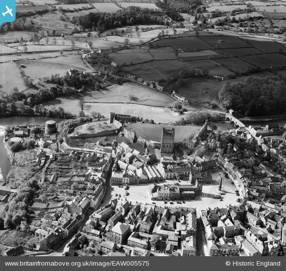
EAW005575 ENGLAND (1947). The castle and town centre, Richmond, 1947
© Copyright OpenStreetMap contributors and licensed by the OpenStreetMap Foundation. 2026. Cartography is licensed as CC BY-SA.
Nearby Images (21)
EAW005575

EAW009261

EPW019863

EAW009263

EAW009260

EAW005572

EAW005578

EAW005573

EAW009258

EPW019866

EAW009259

EAW005577

EAW023521

EAW009262

EAW005576

EAW023519

EPW019865

EPW019868

EPW019862

EAW023522

EAW023520

Details
| Title | [EAW005575] The castle and town centre, Richmond, 1947 |
| Reference | EAW005575 |
| Date | 17-May-1947 |
| Link | |
| Place name | RICHMOND |
| Parish | RICHMOND |
| District | |
| Country | ENGLAND |
| Easting / Northing | 417152, 500713 |
| Longitude / Latitude | -1.7357608666105, 54.401450594715 |
| National Grid Reference | NZ172007 |

