
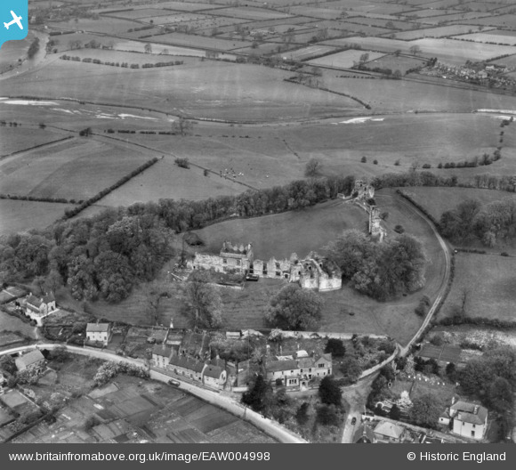
EAW004998 ENGLAND (1947). Tutbury Castle, Tutbury, 1947. This image has been produced from a print.
© Copyright OpenStreetMap contributors and licensed by the OpenStreetMap Foundation. 2026. Cartography is licensed as CC BY-SA.
Nearby Images (5)
EAW004998

EAW004997

EAW004995

EAW004996

EAW004999

Details
| Title | [EAW004998] Tutbury Castle, Tutbury, 1947. This image has been produced from a print. |
| Reference | EAW004998 |
| Date | 7-May-1947 |
| Link | |
| Place name | TUTBURY |
| Parish | TUTBURY |
| District | |
| Country | ENGLAND |
| Easting / Northing | 420882, 329185 |
| Longitude / Latitude | -1.689817104964, 52.859423705015 |
| National Grid Reference | SK209292 |
Pins

grey |
Sunday 4th of January 2015 06:01:27 PM |