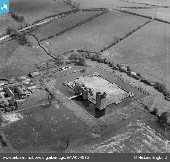
EAW004985 ENGLAND (1947). Kirby Muxloe Castle, Kirby Muxloe, 1947
© Copyright OpenStreetMap contributors and licensed by the OpenStreetMap Foundation. 2025. Cartography is licensed as CC BY-SA.
Nearby Images (7)
EAW004985

EAW004981

EAW004982

EPW055012

EAW004984

EAW004986

EAW004983

Details
| Title | [EAW004985] Kirby Muxloe Castle, Kirby Muxloe, 1947 |
| Reference | EAW004985 |
| Date | 7-May-1947 |
| Link | |
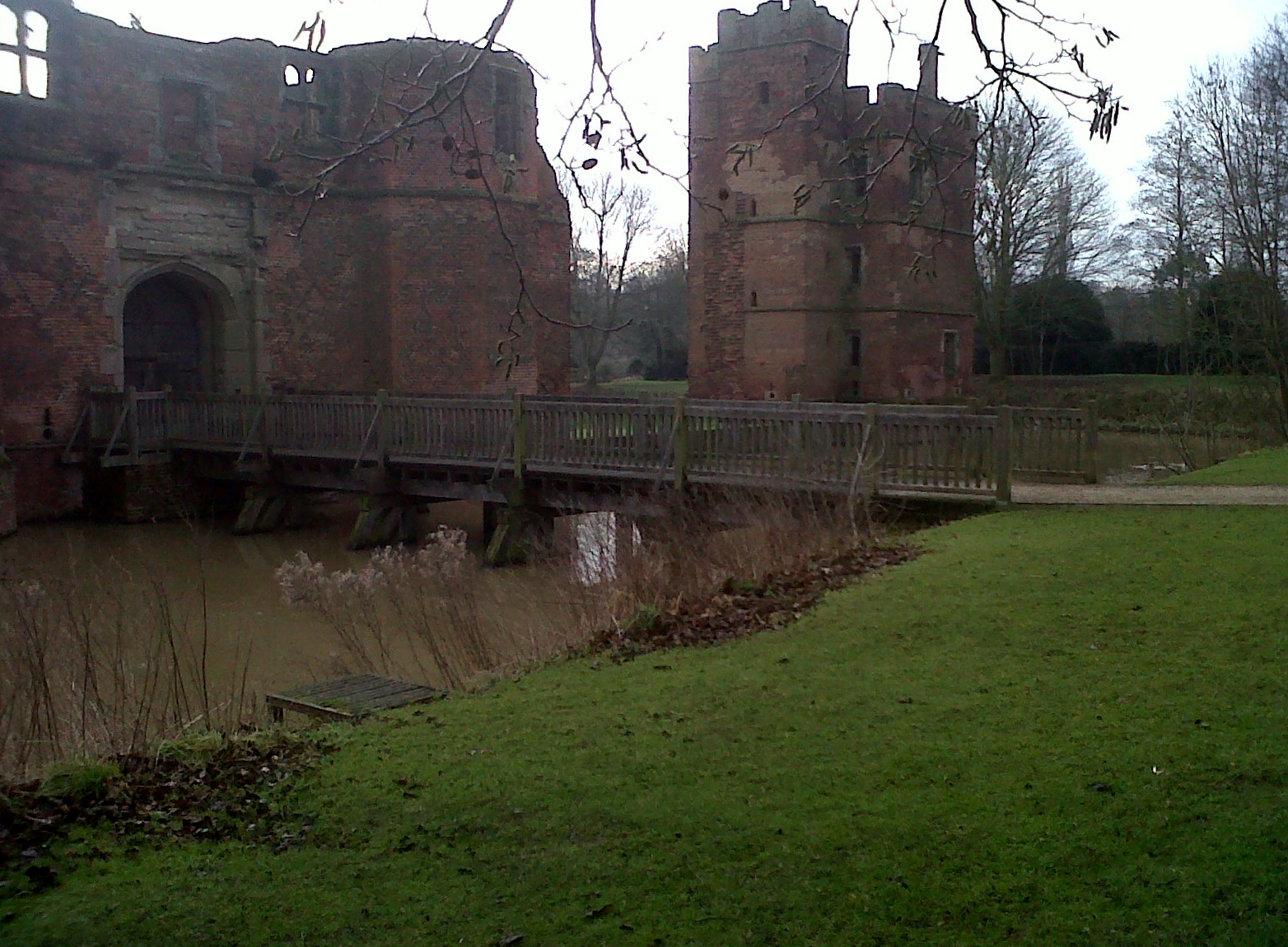
| Place name | KIRBY MUXLOE |
| Parish | KIRBY MUXLOE |
| District | |
| Country | ENGLAND |
| Easting / Northing | 452418, 304629 |
| Longitude / Latitude | -1.2253369658761, 52.636523431001 |
| National Grid Reference | SK524046 |