
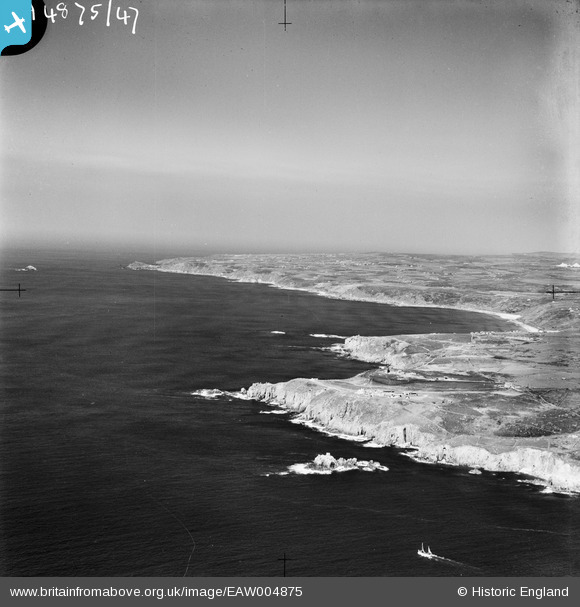
EAW004875 ENGLAND (1947). Land's End and Whitesand Bay, Land's End, from the south-west, 1947
© Copyright OpenStreetMap contributors and licensed by the OpenStreetMap Foundation. 2026. Cartography is licensed as CC BY-SA.
Nearby Images (3)
EAW004875

EAW004876

EPW059873

Details
| Title | [EAW004875] Land's End and Whitesand Bay, Land's End, from the south-west, 1947 |
| Reference | EAW004875 |
| Date | April-1947 |
| Link | |
| Place name | LAND'S END |
| Parish | SENNEN |
| District | |
| Country | ENGLAND |
| Easting / Northing | 134001, 24696 |
| Longitude / Latitude | -5.7171993056548, 50.062157252116 |
| National Grid Reference | SW340247 |
Pins
Be the first to add a comment to this image!