
EAW004772 ENGLAND (1947). Leeds Castle, Broomfield, 1947

© Copyright OpenStreetMap contributors and licensed by the OpenStreetMap Foundation. 2026. Cartography is licensed as CC BY-SA.
Nearby Images (18)
EAW004772

EPW038116

EPW018638

EPW038114

EAW004768

EAW004771

EPW009216

EAW013653

EPW009215

EPW038119

EAW017623

EAW013656

EAW013654

EAW004767

EAW004769

EAW013657

EAW004770

EAW013655

Details
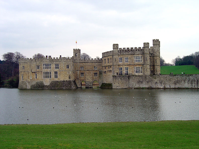
| Title | [EAW004772] Leeds Castle, Broomfield, 1947 |
| Reference | EAW004772 |
| Date | April-1947 |
| Link | |
| Place name | BROOMFIELD |
| Parish | BROOMFIELD AND KINGSWOOD |
| District | |
| Country | ENGLAND |
| Easting / Northing | 583672, 153321 |
| Longitude / Latitude | 0.63210258922289, 51.248926437906 |
| National Grid Reference | TQ837533 |
Pins

totoro |
Sunday 20th of October 2013 10:33:16 AM | |
|
totoro |
Sunday 20th of October 2013 10:32:28 AM | |
|
totoro |
Sunday 20th of October 2013 10:27:54 AM | |
|
totoro |
Sunday 20th of October 2013 09:57:04 AM |
User Comment Contributions
2004 view |
totoro |
Saturday 19th of October 2013 05:20:22 PM |