
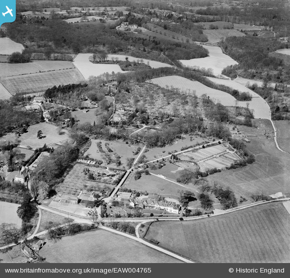
EAW004765 ENGLAND (1947). Gardens at Bitchet Wood and environs, Bitchet Green, 1947
© Copyright OpenStreetMap contributors and licensed by the OpenStreetMap Foundation. 2025. Cartography is licensed as CC BY-SA.
Nearby Images (7)
EAW004765

EAW004760

EAW004764

EAW004761

EAW004766

EAW004763

EAW004762

Details
| Title | [EAW004765] Gardens at Bitchet Wood and environs, Bitchet Green, 1947 |
| Reference | EAW004765 |
| Date | April-1947 |
| Link | |
| Place name | BITCHET GREEN |
| Parish | SEAL |
| District | |
| Country | ENGLAND |
| Easting / Northing | 556621, 154353 |
| Longitude / Latitude | 0.2452482390443, 51.266272173234 |
| National Grid Reference | TQ566544 |
Pins
 totoro |
Tuesday 22nd of October 2013 10:11:53 AM | |
totoro |
Tuesday 22nd of October 2013 10:07:55 AM | |
totoro |
Monday 21st of October 2013 07:25:04 PM | |
A small correction: Hugh Micklem was a stock jobber on the London Stock Exchange not a fruit farmer |
charliek |
Saturday 29th of December 2018 12:52:10 PM |