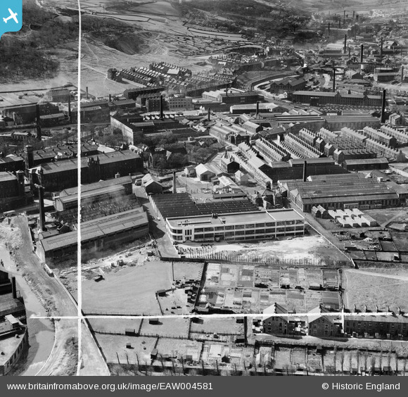
EAW004581 ENGLAND (1947). Dryart Mills and environs, Keighley, 1947. This image was marked by Aerofilms Ltd for photo editing.
© Copyright OpenStreetMap contributors and licensed by the OpenStreetMap Foundation. 2025. Cartography is licensed as CC BY-SA.
Nearby Images (9)
EAW004581

EAW004582

EAW004580

EAW004586

EAW004585

EAW004587

EAW004584

EAW004583

EPW003326

Details
| Title | [EAW004581] Dryart Mills and environs, Keighley, 1947. This image was marked by Aerofilms Ltd for photo editing. |
| Reference | EAW004581 |
| Date | 17-April-1947 |
| Link | |
| Place name | KEIGHLEY |
| Parish | KEIGHLEY |
| District | |
| Country | ENGLAND |
| Easting / Northing | 406897, 441482 |
| Longitude / Latitude | -1.8951000337703, 53.869295558637 |
| National Grid Reference | SE069415 |