
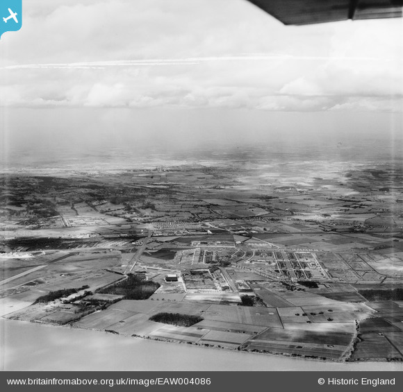
EAW004086 ENGLAND (1947). Speke airfield, Speke and Halewood, Speke, from the south, 1947. This image was marked by Aerofilms Ltd for photo editing.
© Copyright OpenStreetMap contributors and licensed by the OpenStreetMap Foundation. 2026. Cartography is licensed as CC BY-SA.
Nearby Images (5)
EAW004086

EAW047310

EAW004087

EAW047307

EAW047309

Details
| Title | [EAW004086] Speke airfield, Speke and Halewood, Speke, from the south, 1947. This image was marked by Aerofilms Ltd for photo editing. |
| Reference | EAW004086 |
| Date | 25-March-1947 |
| Link | |
| Place name | SPEKE |
| Parish | |
| District | |
| Country | ENGLAND |
| Easting / Northing | 342688, 382688 |
| Longitude / Latitude | -2.8608196872071, 53.33771951212 |
| National Grid Reference | SJ427827 |
Pins

DaveH |
Friday 10th of November 2023 09:18:44 PM | |

bescotbeast |
Friday 28th of March 2014 04:40:03 PM |