
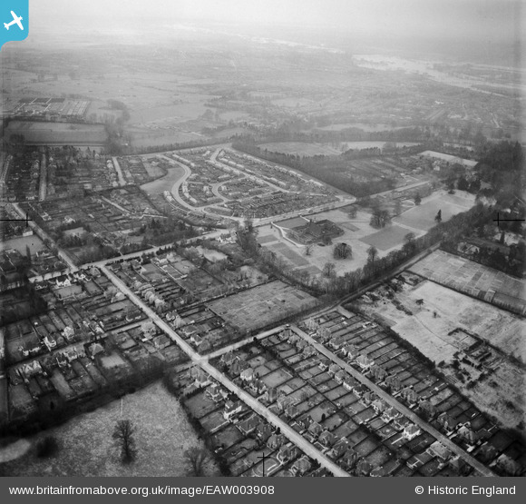
EAW003908 ENGLAND (1947). Residential area around Headington School and environs, Headington Hill, 1947
© Copyright OpenStreetMap contributors and licensed by the OpenStreetMap Foundation. 2026. Cartography is licensed as CC BY-SA.
Nearby Images (8)
EAW003908

EAW023201

EAW023203

EPW050487

EAW023200

EAW023202

EAW049094

EPW022538

Details
| Title | [EAW003908] Residential area around Headington School and environs, Headington Hill, 1947 |
| Reference | EAW003908 |
| Date | 20-March-1947 |
| Link | |
| Place name | HEADINGTON HILL |
| Parish | |
| District | |
| Country | ENGLAND |
| Easting / Northing | 453916, 206845 |
| Longitude / Latitude | -1.2187687989613, 51.757241099702 |
| National Grid Reference | SP539068 |
Pins
Be the first to add a comment to this image!