
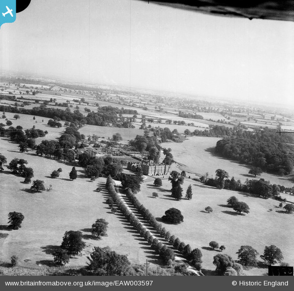
EAW003597 ENGLAND (1947). Stoneleigh Abbey, Stoneleigh, from the north-west, 1947
© Copyright OpenStreetMap contributors and licensed by the OpenStreetMap Foundation. 2026. Cartography is licensed as CC BY-SA.
Nearby Images (4)
EAW003597

EAW025683
, Stoneleigh, from the north, 1949. This image has been produced from a damaged negative.")
EAW003599

EAW003598

Details
| Title | [EAW003597] Stoneleigh Abbey, Stoneleigh, from the north-west, 1947 |
| Reference | EAW003597 |
| Date | March-1947 |
| Link | |
| Place name | STONELEIGH |
| Parish | STONELEIGH |
| District | |
| Country | ENGLAND |
| Easting / Northing | 431613, 271451 |
| Longitude / Latitude | -1.5359405471619, 52.339841275475 |
| National Grid Reference | SP316715 |


