
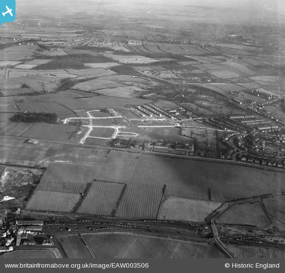
EAW003506 ENGLAND (1947). New roads being constructed to the east of Monk Wood, Rawmarsh, from the south-west, 1947
© Copyright OpenStreetMap contributors and licensed by the OpenStreetMap Foundation. 2026. Cartography is licensed as CC BY-SA.
Nearby Images (3)
EAW003506

EAW003493

EAW003492

Details
| Title | [EAW003506] New roads being constructed to the east of Monk Wood, Rawmarsh, from the south-west, 1947 |
| Reference | EAW003506 |
| Date | 12-January-1947 |
| Link | |
| Place name | RAWMARSH |
| Parish | |
| District | |
| Country | ENGLAND |
| Easting / Northing | 443169, 396698 |
| Longitude / Latitude | -1.3496716694893, 53.464999066036 |
| National Grid Reference | SK432967 |
Pins

Lee.Page |
Friday 26th of October 2018 03:59:00 PM | |
|
Lee.Page |
Friday 26th of October 2018 03:57:56 PM | |
|
Lee.Page |
Friday 26th of October 2018 03:57:21 PM | |
|
Lee.Page |
Friday 26th of October 2018 03:56:36 PM | |
|
Lee.Page |
Friday 26th of October 2018 03:55:53 PM | |
|
Lee.Page |
Friday 26th of October 2018 03:54:31 PM | |
|
Lee.Page |
Friday 26th of October 2018 03:47:45 PM |