
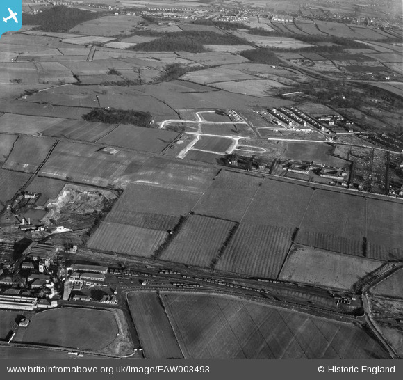
EAW003493 ENGLAND (1947). New roads being constructed next to Monk Wood, Rawmarsh, 1947
© Copyright OpenStreetMap contributors and licensed by the OpenStreetMap Foundation. 2026. Cartography is licensed as CC BY-SA.
Nearby Images (3)
EAW003493

EAW003506

EAW003507

Details
| Title | [EAW003493] New roads being constructed next to Monk Wood, Rawmarsh, 1947 |
| Reference | EAW003493 |
| Date | 12-January-1947 |
| Link | |
| Place name | RAWMARSH |
| Parish | |
| District | |
| Country | ENGLAND |
| Easting / Northing | 443076, 396804 |
| Longitude / Latitude | -1.3510580565744, 53.465959509445 |
| National Grid Reference | SK431968 |
Pins

Holmes Junction |
Thursday 12th of December 2013 02:33:47 PM |