
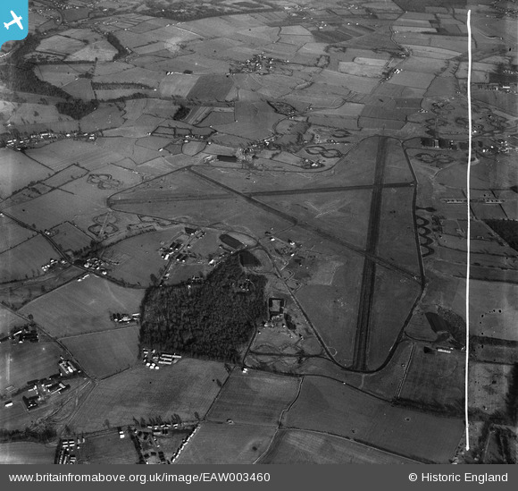
EAW003460 ENGLAND (1947). London Stansted Airport, Stansted Mountfitchet, 1947. This image was marked by Aerofilms Ltd for photo editing.
© Copyright OpenStreetMap contributors and licensed by the OpenStreetMap Foundation. 2026. Cartography is licensed as CC BY-SA.
Nearby Images (5)
EAW003460

EAW003464

EAW003463

EAW003455

EAW003456

Details
| Title | [EAW003460] London Stansted Airport, Stansted Mountfitchet, 1947. This image was marked by Aerofilms Ltd for photo editing. |
| Reference | EAW003460 |
| Date | 1-January-1947 |
| Link | |
| Place name | STANSTED MOUNTFITCHET |
| Parish | STANSTED MOUNTFITCHET |
| District | |
| Country | ENGLAND |
| Easting / Northing | 553108, 222789 |
| Longitude / Latitude | 0.22476271048314, 51.88217210449 |
| National Grid Reference | TL531228 |
Pins
Be the first to add a comment to this image!