
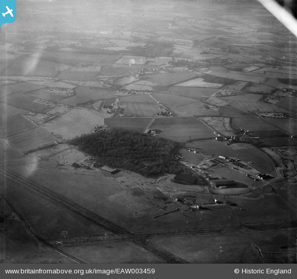
EAW003459 ENGLAND (1947). Round Coppice, Stansted Mountfitchet, from the east, 1947
© Copyright OpenStreetMap contributors and licensed by the OpenStreetMap Foundation. 2026. Cartography is licensed as CC BY-SA.
Nearby Images (4)
EAW003459

EAW003457

EAW003464

EAW003462

Details
| Title | [EAW003459] Round Coppice, Stansted Mountfitchet, from the east, 1947 |
| Reference | EAW003459 |
| Date | 1-January-1947 |
| Link | |
| Place name | STANSTED MOUNTFITCHET |
| Parish | STANSTED MOUNTFITCHET |
| District | |
| Country | ENGLAND |
| Easting / Northing | 552923, 222523 |
| Longitude / Latitude | 0.22195883092656, 51.879832827995 |
| National Grid Reference | TL529225 |
Pins
Be the first to add a comment to this image!