
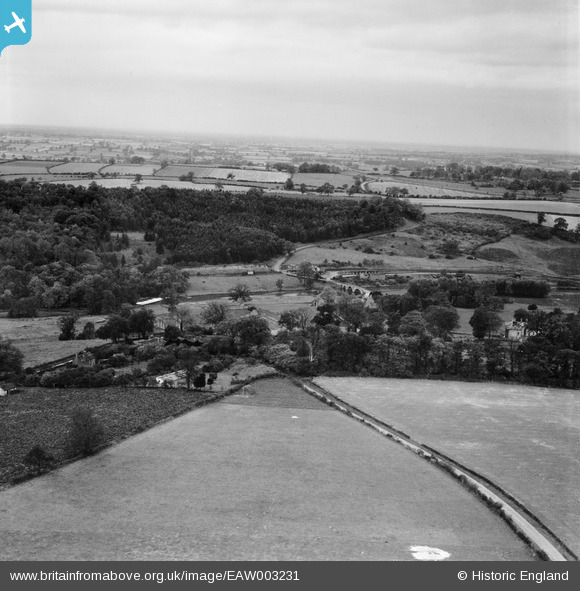
EAW003231 ENGLAND (1946). Kirkham Bridge and surrounding countryside, Kirkham, from the north-east, 1946
© Copyright OpenStreetMap contributors and licensed by the OpenStreetMap Foundation. 2026. Cartography is licensed as CC BY-SA.
Nearby Images (14)
EAW003231

EPW017213

EAW003229

EAW003224

EAW003228

EPW017214

EAW003221

EAW003227

EAW003225

EAW003222

EPW017212

EAW003223

EPW017259

EPW017209

Details
| Title | [EAW003231] Kirkham Bridge and surrounding countryside, Kirkham, from the north-east, 1946 |
| Reference | EAW003231 |
| Date | 18-October-1946 |
| Link | |
| Place name | KIRKHAM |
| Parish | WESTOW |
| District | |
| Country | ENGLAND |
| Easting / Northing | 473626, 465800 |
| Longitude / Latitude | -0.87442646453619, 54.082664850509 |
| National Grid Reference | SE736658 |
Pins
Be the first to add a comment to this image!