
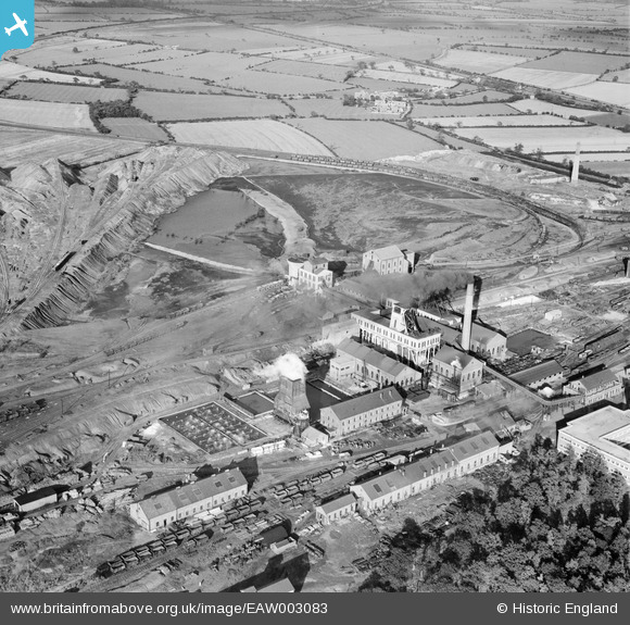
EAW003083 ENGLAND (1946). Bentley Colliery, Bentley, 1946
© Copyright OpenStreetMap contributors and licensed by the OpenStreetMap Foundation. 2026. Cartography is licensed as CC BY-SA.
Nearby Images (6)
EAW003083

EAW003085

EAW003087

EAW003084

EAW003088

EAW003086

Details
| Title | [EAW003083] Bentley Colliery, Bentley, 1946 |
| Reference | EAW003083 |
| Date | 8-October-1946 |
| Link | |
| Place name | BENTLEY |
| Parish | |
| District | |
| Country | ENGLAND |
| Easting / Northing | 456947, 407561 |
| Longitude / Latitude | -1.1401582417201, 53.561330635451 |
| National Grid Reference | SE569076 |
Pins
Be the first to add a comment to this image!