
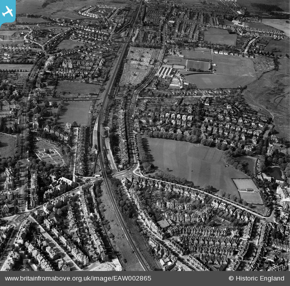
EAW002865 ENGLAND (1946). Central Station, Radnor Park and the surrounding area, Folkestone, 1946
© Copyright OpenStreetMap contributors and licensed by the OpenStreetMap Foundation. 2026. Cartography is licensed as CC BY-SA.
Nearby Images (6)
EAW002865

EAW002866

EAW002368

EAW002369

EAW002864

EAW002367

Details
| Title | [EAW002865] Central Station, Radnor Park and the surrounding area, Folkestone, 1946 |
| Reference | EAW002865 |
| Date | 1-October-1946 |
| Link | |
| Place name | FOLKESTONE |
| Parish | FOLKESTONE |
| District | |
| Country | ENGLAND |
| Easting / Northing | 621973, 136385 |
| Longitude / Latitude | 1.1696958413987, 51.083236835793 |
| National Grid Reference | TR220364 |

