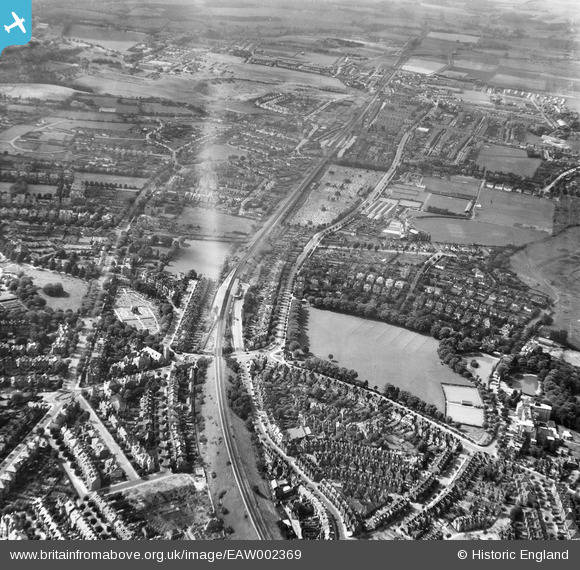
EAW002369 ENGLAND (1946). Radnor Park, Cheriton Road and environs, Folkestone, 1946
    © Copyright OpenStreetMap contributors and licensed by the OpenStreetMap Foundation. 2025. Cartography is licensed as CC BY-SA.
  
Nearby Images (6)
Details
| Title | [EAW002369] Radnor Park, Cheriton Road and environs, Folkestone, 1946 | 
| Reference | EAW002369 | 
| Date | 9-September-1946 | 
| Link | |
| Place name | FOLKESTONE | 
| Parish | FOLKESTONE | 
| District | |
| Country | ENGLAND | 
| Easting / Northing | 621907, 136345 | 
| Longitude / Latitude | 1.1687303651056, 51.082903192028 | 
| National Grid Reference | TR219363 | 
Pins
Be the first to add a comment to this image!
 
             
  ![[EAW002369] Radnor Park, Cheriton Road and environs, Folkestone, 1946](http://britainfromabove.org.uk/sites/all/libraries/aerofilms-images/public/100x100/EAW/002/EAW002369.jpg) 
  
                                          ![[EAW002866] Central Station, Radnor Park and the surrounding area, Folkestone, 1946](http://britainfromabove.org.uk/sites/all/libraries/aerofilms-images/public/100x100/EAW/002/EAW002866.jpg) 
 ![[EAW002368] Radnor Park, Cheriton Road and environs, Folkestone, 1946](http://britainfromabove.org.uk/sites/all/libraries/aerofilms-images/public/100x100/EAW/002/EAW002368.jpg) 
 ![[EAW002865] Central Station, Radnor Park and the surrounding area, Folkestone, 1946](http://britainfromabove.org.uk/sites/all/libraries/aerofilms-images/public/100x100/EAW/002/EAW002865.jpg) 
 ![[EAW002367] Radnor Park, Cheriton Road and environs, Folkestone, 1946](http://britainfromabove.org.uk/sites/all/libraries/aerofilms-images/public/100x100/EAW/002/EAW002367.jpg) 
 ![[EAW002864] Central Station, Radnor Park and the surrounding residential area, Folkestone, 1946](http://britainfromabove.org.uk/sites/all/libraries/aerofilms-images/public/100x100/EAW/002/EAW002864.jpg)