
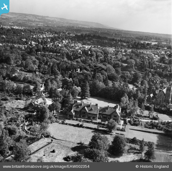
EAW002354 ENGLAND (1946). Kippington Court (Churchill Court) and environs, Kippington, from the west, 1946
© Copyright OpenStreetMap contributors and licensed by the OpenStreetMap Foundation. 2026. Cartography is licensed as CC BY-SA.
Nearby Images (9)
EAW002354
 and environs, Kippington, from the west, 1946")
EAW002352
 and environs, Kippington, 1946")
EAW002350
, Kippington, 1946")
EAW002351
, Kippington, 1946")
EAW002357
, Kippington, 1946")
EAW002353
 and St Mary's Church, Kippington, 1946")
EAW002355
 and environs, Kippington, from the south, 1946")
EAW002356
 and environs, Kippington, from the south-west, 1946")
EPW001427

Details
| Title | [EAW002354] Kippington Court (Churchill Court) and environs, Kippington, from the west, 1946 |
| Reference | EAW002354 |
| Date | 9-September-1946 |
| Link | |
| Place name | KIPPINGTON |
| Parish | SEVENOAKS |
| District | |
| Country | ENGLAND |
| Easting / Northing | 551998, 154622 |
| Longitude / Latitude | 0.17914157583721, 51.269941308257 |
| National Grid Reference | TQ520546 |
Pins
Be the first to add a comment to this image!