
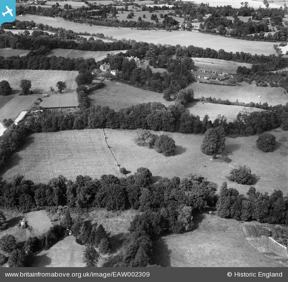
EAW002309 ENGLAND (1946). Runnymede Park, Englefield Green, 1946
© Copyright OpenStreetMap contributors and licensed by the OpenStreetMap Foundation. 2026. Cartography is licensed as CC BY-SA.
Nearby Images (7)
EAW002309

EAW002303

EAW002310

EAW002308

EAW002306

EAW002311

EAW002305

Details
| Title | [EAW002309] Runnymede Park, Englefield Green, 1946 |
| Reference | EAW002309 |
| Date | 21-August-1946 |
| Link | |
| Place name | ENGLEFIELD GREEN |
| Parish | |
| District | |
| Country | ENGLAND |
| Easting / Northing | 499895, 171516 |
| Longitude / Latitude | -0.56277916246851, 51.433336169376 |
| National Grid Reference | SU999715 |
Pins

Class31 |
Tuesday 8th of September 2015 08:55:44 PM | |

Ellensdottir |
Sunday 1st of September 2013 07:38:15 PM | |
|
Ellensdottir |
Sunday 1st of September 2013 07:37:31 PM |
