
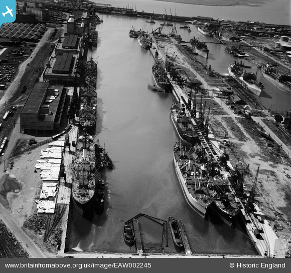
EAW002245 ENGLAND (1946). The Port of Bristol Authority Royal Edward Docks, Avonmouth, 1946
© Copyright OpenStreetMap contributors and licensed by the OpenStreetMap Foundation. 2026. Cartography is licensed as CC BY-SA.
Nearby Images (13)
EAW002245

EAW002248

EAW002252

EPW005481

EAW002246

EPW005484

EAW002074

EPW005486

EPW005480

EAW002244

EPW019264

EAW002254

EAW002242

Details
| Title | [EAW002245] The Port of Bristol Authority Royal Edward Docks, Avonmouth, 1946 |
| Reference | EAW002245 |
| Date | 18-August-1946 |
| Link | |
| Place name | AVONMOUTH |
| Parish | |
| District | |
| Country | ENGLAND |
| Easting / Northing | 351412, 179313 |
| Longitude / Latitude | -2.7002137558761, 51.510171368027 |
| National Grid Reference | ST514793 |

