
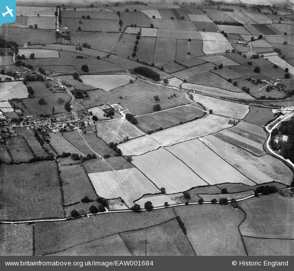
EAW001684 ENGLAND (1946). Fields to the north-east of the village, Worthington, 1946
© Copyright OpenStreetMap contributors and licensed by the OpenStreetMap Foundation. 2024. Cartography is licensed as CC BY-SA.
Nearby Images (3)
EAW001684

EAW001683

EAW001685

Details
| Title | [EAW001684] Fields to the north-east of the village, Worthington, 1946 |
| Reference | EAW001684 |
| Date | 12-July-1946 |
| Link | |
| Place name | WORTHINGTON |
| Parish | WORTHINGTON |
| District | |
| Country | ENGLAND |
| Easting / Northing | 441016, 320797 |
| Longitude / Latitude | -1.3918126838219, 52.782857998374 |
| National Grid Reference | SK410208 |
Pins
Be the first to add a comment to this image!