
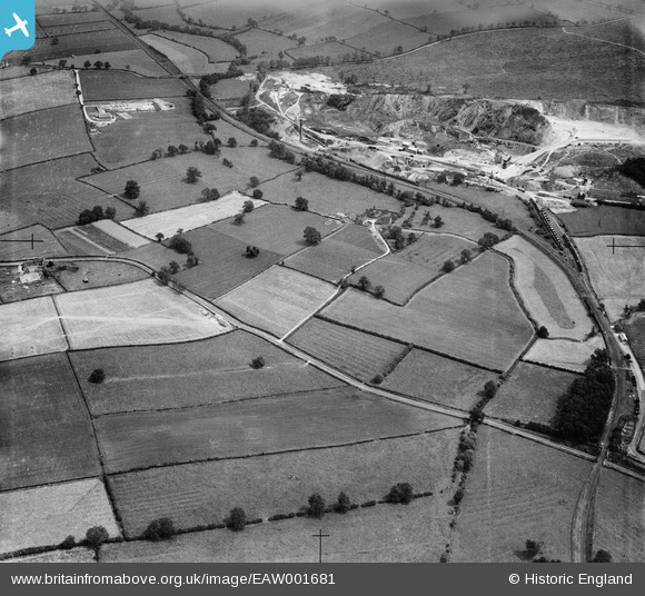
EAW001681 ENGLAND (1946). Worthington Corn Mill and Cloud Hill Quarry, Worthington, 1946
© Copyright OpenStreetMap contributors and licensed by the OpenStreetMap Foundation. 2025. Cartography is licensed as CC BY-SA.
Nearby Images (3)
EAW001681

EAW001682

EAW001680

Details
| Title | [EAW001681] Worthington Corn Mill and Cloud Hill Quarry, Worthington, 1946 |
| Reference | EAW001681 |
| Date | 12-July-1946 |
| Link | |
| Place name | WORTHINGTON |
| Parish | WORTHINGTON |
| District | |
| Country | ENGLAND |
| Easting / Northing | 440673, 321348 |
| Longitude / Latitude | -1.396829901394, 52.787837470917 |
| National Grid Reference | SK407213 |
Pins
Be the first to add a comment to this image!