
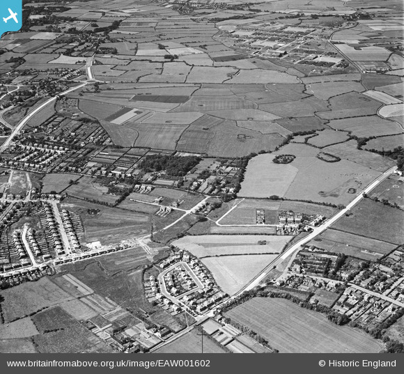
EAW001602 ENGLAND (1946). Devonshire Road, Wood Lane and environs, Greasby, 1946
© Copyright OpenStreetMap contributors and licensed by the OpenStreetMap Foundation. 2026. Cartography is licensed as CC BY-SA.
Nearby Images (3)
EAW001602

EAW001291

EAW001290

Details
| Title | [EAW001602] Devonshire Road, Wood Lane and environs, Greasby, 1946 |
| Reference | EAW001602 |
| Date | 11-July-1946 |
| Link | |
| Place name | GREASBY |
| Parish | |
| District | |
| Country | ENGLAND |
| Easting / Northing | 325723, 388135 |
| Longitude / Latitude | -3.1168646470626, 53.384567059128 |
| National Grid Reference | SJ257881 |
Pins
Be the first to add a comment to this image!