
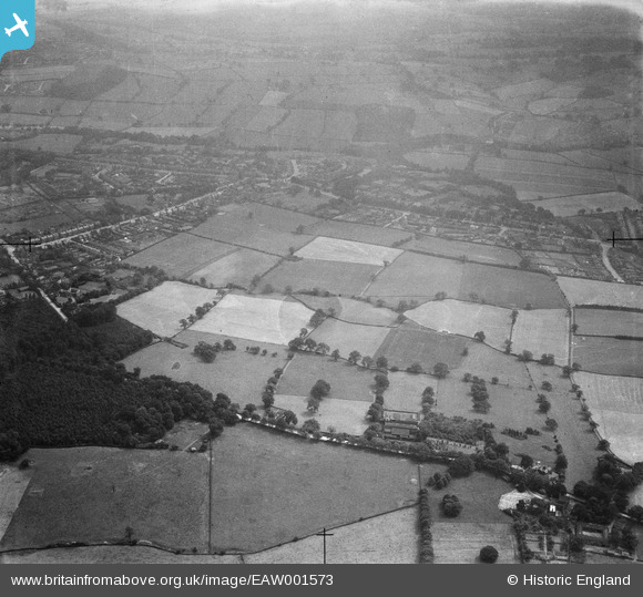
EAW001573 ENGLAND (1946). Fields between Chatsworth Road and Ashgate Road, Old Brampton, 1946
© Copyright OpenStreetMap contributors and licensed by the OpenStreetMap Foundation. 2024. Cartography is licensed as CC BY-SA.
Nearby Images (5)
EAW001573

EAW001574

EAW001572

EAW001576

EAW001577

Details
| Title | [EAW001573] Fields between Chatsworth Road and Ashgate Road, Old Brampton, 1946 |
| Reference | EAW001573 |
| Date | 10-July-1946 |
| Link | |
| Place name | OLD BRAMPTON |
| Parish | BRAMPTON |
| District | |
| Country | ENGLAND |
| Easting / Northing | 435258, 371061 |
| Longitude / Latitude | -1.4716993805108, 53.235129448879 |
| National Grid Reference | SK353711 |
Pins
Be the first to add a comment to this image!