
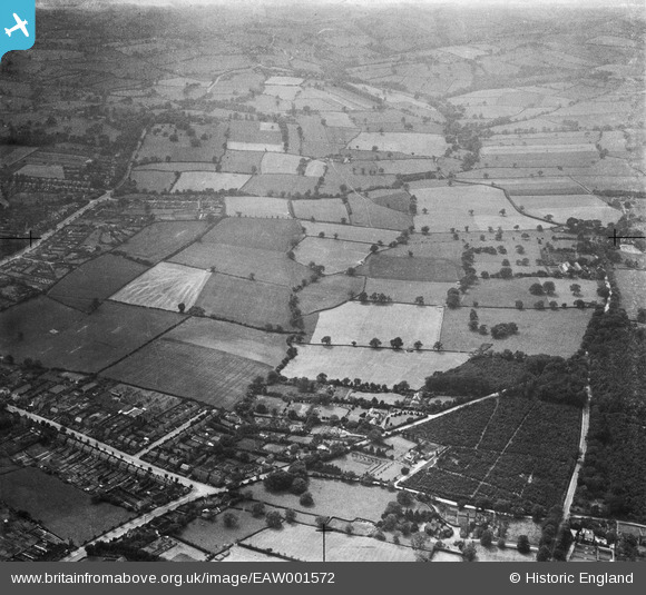
EAW001572 ENGLAND (1946). Threenook Plantation, Old Road and adjacent fields, Old Brampton, 1946
© Copyright OpenStreetMap contributors and licensed by the OpenStreetMap Foundation. 2024. Cartography is licensed as CC BY-SA.
Nearby Images (9)
EAW001572

EAW001574

EAW001576

EAW001573

EAW001577

EAW001578

EAW001575

EAW001579

EAW001580

Details
| Title | [EAW001572] Threenook Plantation, Old Road and adjacent fields, Old Brampton, 1946 |
| Reference | EAW001572 |
| Date | 10-July-1946 |
| Link | |
| Place name | OLD BRAMPTON |
| Parish | BRAMPTON |
| District | |
| Country | ENGLAND |
| Easting / Northing | 435134, 371116 |
| Longitude / Latitude | -1.4735512260462, 53.235632089917 |
| National Grid Reference | SK351711 |
Pins
Be the first to add a comment to this image!