
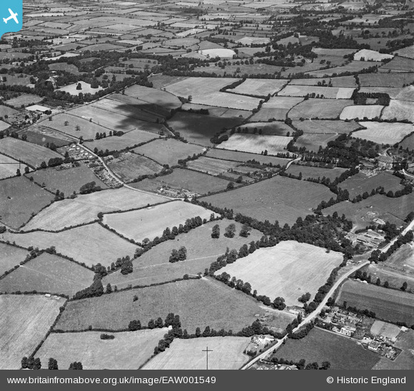
EAW001549 ENGLAND (1946). The village and the surrounding countryside, Catbrain, 1946
© Copyright OpenStreetMap contributors and licensed by the OpenStreetMap Foundation. 2026. Cartography is licensed as CC BY-SA.
Nearby Images (33)
EAW001549

EAW009955

EAW009951

EAW009952

EAW004184

EAW027773

EAW007138

EAW003549

EAW003557

EAW004181

EAW027775

EAW009950

EAW027786

EAW007136

EAW027778

EAW027785

EAW027780

EAW003548

EAW007145

EAW004180

EAW009953

EAW012432

EAW027776

EAW027774

EAW004182

EAW013922

EAW027781

EAW027787

EAW001555

EAW007131

EAW027777

EAW027783

EAW001552

Details
| Title | [EAW001549] The village and the surrounding countryside, Catbrain, 1946 |
| Reference | EAW001549 |
| Date | 15-July-1946 |
| Link | |
| Place name | CATBRAIN |
| Parish | ALMONDSBURY |
| District | |
| Country | ENGLAND |
| Easting / Northing | 357821, 180368 |
| Longitude / Latitude | -2.6079843649472, 51.520172832234 |
| National Grid Reference | ST578804 |
