
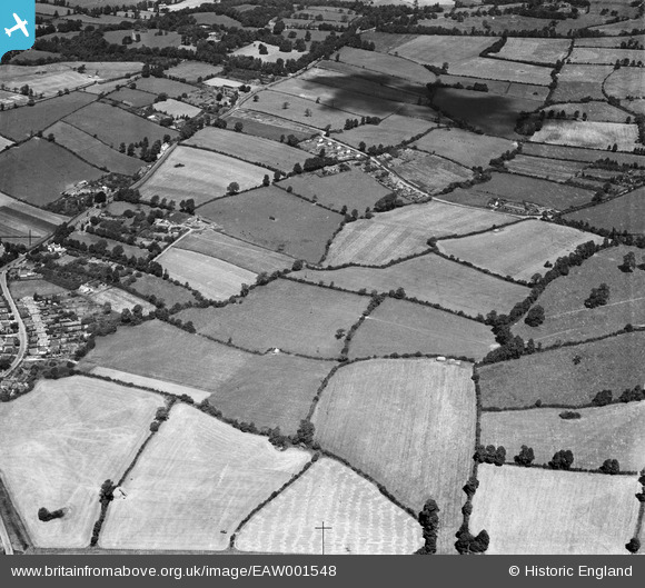
EAW001548 ENGLAND (1946). The village and the surrounding countryside, Catbrain, 1946
© Copyright OpenStreetMap contributors and licensed by the OpenStreetMap Foundation. 2026. Cartography is licensed as CC BY-SA.
Nearby Images (4)
EAW001548

EAW001552

EAW007131

EAW001555

Details
| Title | [EAW001548] The village and the surrounding countryside, Catbrain, 1946 |
| Reference | EAW001548 |
| Date | 15-July-1946 |
| Link | |
| Place name | CATBRAIN |
| Parish | ALMONDSBURY |
| District | |
| Country | ENGLAND |
| Easting / Northing | 357414, 180172 |
| Longitude / Latitude | -2.613826966019, 51.518379859302 |
| National Grid Reference | ST574802 |
Pins

Class31 |
Wednesday 3rd of June 2015 06:46:57 AM |