
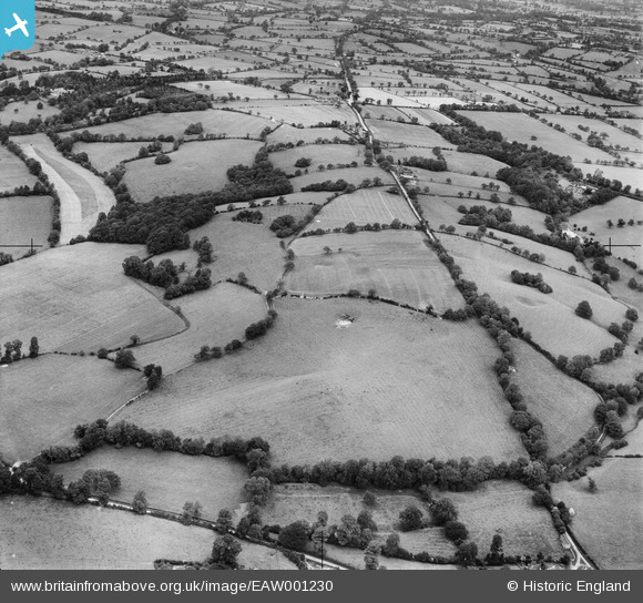
EAW001230 ENGLAND (1946). Ryknild Street (Roman Road), Swanshill Wood and the surrounding countryside, Weatheroak Hill, 1946
© Copyright OpenStreetMap contributors and licensed by the OpenStreetMap Foundation. 2025. Cartography is licensed as CC BY-SA.
Nearby Images (4)
EAW001230
, Swanshill Wood and the surrounding countryside, Weatheroak Hill, 1946")
EAW001232
, Swanshill Wood and the surrounding countryside, Weatheroak Hill, 1946")
EAW001231
, Swanshill Wood and the surrounding countryside, Weatheroak Hill, 1946")
EAW001233
, Swan's Hill and the surrounding countryside, Weatheroak Hill, 1946")
Details
| Title | [EAW001230] Ryknild Street (Roman Road), Swanshill Wood and the surrounding countryside, Weatheroak Hill, 1946 |
| Reference | EAW001230 |
| Date | 24-June-1946 |
| Link | |
| Place name | WEATHEROAK HILL |
| Parish | ALVECHURCH |
| District | |
| Country | ENGLAND |
| Easting / Northing | 405410, 274564 |
| Longitude / Latitude | -1.9205329603834, 52.368715421183 |
| National Grid Reference | SP054746 |
Pins

totoro |
Thursday 28th of November 2013 09:36:42 PM | |
|
totoro |
Thursday 28th of November 2013 09:36:00 PM | |
|
totoro |
Thursday 28th of November 2013 09:34:41 PM | |
|
totoro |
Thursday 28th of November 2013 09:33:21 PM | |
|
totoro |
Thursday 28th of November 2013 09:32:36 PM | |
|
totoro |
Thursday 28th of November 2013 09:31:53 PM | |
|
totoro |
Thursday 28th of November 2013 09:30:10 PM | |
|
totoro |
Thursday 28th of November 2013 09:29:30 PM | |
|
totoro |
Thursday 28th of November 2013 09:28:48 PM |