
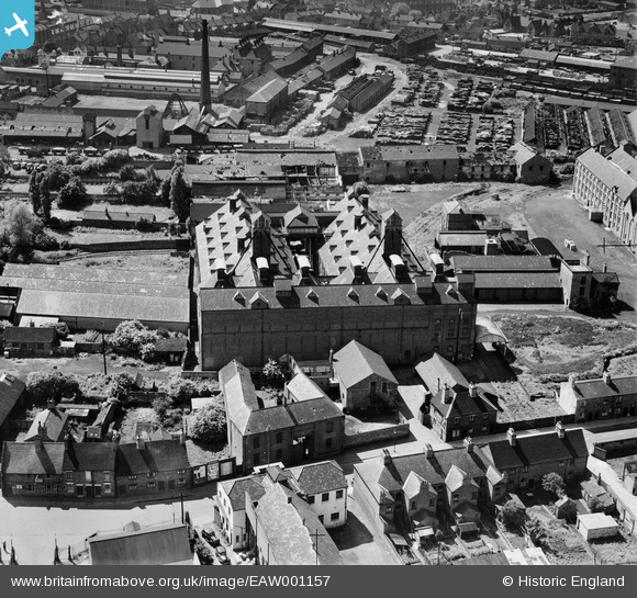
EAW001157 ENGLAND (1946). Eatoughs Boot Factory, Burton upon Trent, 1946
© Copyright OpenStreetMap contributors and licensed by the OpenStreetMap Foundation. 2026. Cartography is licensed as CC BY-SA.
Nearby Images (11)
EAW001157

EAW001158

EAW001156

EAW001155

EAW001154

EAW001153

EAW001151

EAW001152

EPW005823

EPW005825

EPW020887

Details
| Title | [EAW001157] Eatoughs Boot Factory, Burton upon Trent, 1946 |
| Reference | EAW001157 |
| Date | 20-June-1946 |
| Link | |
| Place name | BURTON UPON TRENT |
| Parish | BURTON |
| District | |
| Country | ENGLAND |
| Easting / Northing | 425268, 323490 |
| Longitude / Latitude | -1.6251095770921, 52.808036035989 |
| National Grid Reference | SK253235 |
Pins
Be the first to add a comment to this image!