
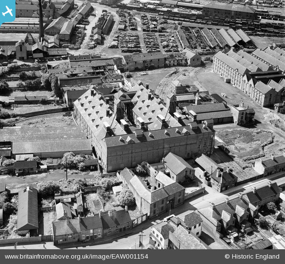
EAW001154 ENGLAND (1946). Eatoughs Boot Factory, Burton upon Trent, 1946
© Copyright OpenStreetMap contributors and licensed by the OpenStreetMap Foundation. 2026. Cartography is licensed as CC BY-SA.
Nearby Images (11)
EAW001154

EAW001156

EAW001157

EAW001153

EAW001158

EAW001155

EAW001151

EAW001152

EPW005823

EPW005825

EPW020887

Details
| Title | [EAW001154] Eatoughs Boot Factory, Burton upon Trent, 1946 |
| Reference | EAW001154 |
| Date | 20-June-1946 |
| Link | |
| Place name | BURTON UPON TRENT |
| Parish | BURTON |
| District | |
| Country | ENGLAND |
| Easting / Northing | 425252, 323491 |
| Longitude / Latitude | -1.6253468793762, 52.808045775843 |
| National Grid Reference | SK253235 |
Pins

Sparky |
Sunday 24th of September 2017 01:13:09 PM |