
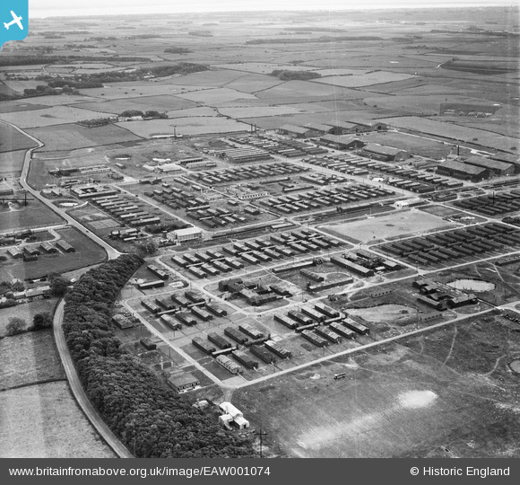
EAW001074 ENGLAND (1946). RAF Weeton, Weeton Camp, from the north-east, 1946
© Copyright OpenStreetMap contributors and licensed by the OpenStreetMap Foundation. 2026. Cartography is licensed as CC BY-SA.
Nearby Images (4)
EAW001074

EAW001077

EAW001075

EAW001073

Details
| Title | [EAW001074] RAF Weeton, Weeton Camp, from the north-east, 1946 |
| Reference | EAW001074 |
| Date | 3-June-1946 |
| Link | |
| Place name | WEETON CAMP |
| Parish | WEETON-WITH-PREESE |
| District | |
| Country | ENGLAND |
| Easting / Northing | 338498, 436402 |
| Longitude / Latitude | -2.9343300843386, 53.820039042709 |
| National Grid Reference | SD385364 |
Pins
Be the first to add a comment to this image!