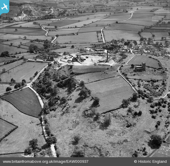
EAW000937 ENGLAND (1946). Breedon Hill, Breedon on the Hill, 1946
© Copyright OpenStreetMap contributors and licensed by the OpenStreetMap Foundation. 2025. Cartography is licensed as CC BY-SA.
Details
| Title | [EAW000937] Breedon Hill, Breedon on the Hill, 1946 |
| Reference | EAW000937 |
| Date | 29-May-1946 |
| Link | |
| Place name | BREEDON ON THE HILL |
| Parish | BREEDON ON THE HILL |
| District | |
| Country | ENGLAND |
| Easting / Northing | 440700, 323372 |
| Longitude / Latitude | -1.3961775780175, 52.806031247917 |
| National Grid Reference | SK407234 |
Pins
Be the first to add a comment to this image!


![[EAW000937] Breedon Hill, Breedon on the Hill, 1946](http://britainfromabove.org.uk/sites/all/libraries/aerofilms-images/public/100x100/EAW/000/EAW000937.jpg)
![[EAW001668] Breedon Limestone Quarry, Breedon on the Hill, 1946](http://britainfromabove.org.uk/sites/all/libraries/aerofilms-images/public/100x100/EAW/001/EAW001668.jpg)
![[EPW062140] The Breedon Lime Works and the Priory Church of St Mary & St Hardulph, Breedon on the Hill, 1939](http://britainfromabove.org.uk/sites/all/libraries/aerofilms-images/public/100x100/EPW/062/EPW062140.jpg)
![[EAW000929] The Breedon Lime Works and St Mary & St Hardulph's Church, Breedon on the Hill, 1946. This image has been produced from a print.](http://britainfromabove.org.uk/sites/all/libraries/aerofilms-images/public/100x100/EAW/000/EAW000929.jpg)