
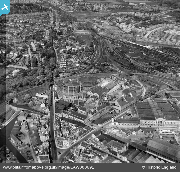
EAW000691 ENGLAND (1946). The Gaslight Co Gas Works, Worcester, 1946. This image has been produced from a damaged negative.
© Copyright OpenStreetMap contributors and licensed by the OpenStreetMap Foundation. 2026. Cartography is licensed as CC BY-SA.
Nearby Images (15)
EAW000691

EAW000694

EPW044988

EPW044991

EPW044990

EPW044986

EPW044989

EPW044987

EAW000695

EPW044985

EAW000692

EAW000693

EAW000697

EPW001299

EAW000696

Details
| Title | [EAW000691] The Gaslight Co Gas Works, Worcester, 1946. This image has been produced from a damaged negative. |
| Reference | EAW000691 |
| Date | 10-May-1946 |
| Link | |
| Place name | WORCESTER |
| Parish | |
| District | |
| Country | ENGLAND |
| Easting / Northing | 385552, 255441 |
| Longitude / Latitude | -2.2114049432131, 52.196611983797 |
| National Grid Reference | SO856554 |
Pins

Sparky |
Tuesday 7th of November 2017 03:43:36 PM | |

Class31 |
Friday 20th of May 2016 07:53:29 PM | |
|
Class31 |
Friday 20th of May 2016 07:49:22 PM | |

kiwizzarrd |
Wednesday 23rd of March 2016 08:39:19 PM |

