
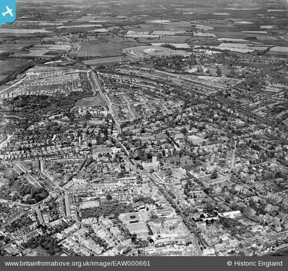
EAW000661 ENGLAND (1946). St Peter's Church and the city, St Albans, 1946
© Copyright OpenStreetMap contributors and licensed by the OpenStreetMap Foundation. 2026. Cartography is licensed as CC BY-SA.
Nearby Images (5)
EAW000661

EPW024300

EAW003451

EAW015578

EAW015579

Details
| Title | [EAW000661] St Peter's Church and the city, St Albans, 1946 |
| Reference | EAW000661 |
| Date | 10-May-1946 |
| Link | |
| Place name | ST ALBANS |
| Parish | |
| District | |
| Country | ENGLAND |
| Easting / Northing | 515255, 207875 |
| Longitude / Latitude | -0.32993714969594, 51.757234623968 |
| National Grid Reference | TL153079 |


