EAW000511 ENGLAND (1946). Bomb damage and clearance around Moorgate Street Station, London, 1946
    © Copyright OpenStreetMap contributors and licensed by the OpenStreetMap Foundation. 2025. Cartography is licensed as CC BY-SA.
  
Nearby Images (14)
Details
| Title | [EAW000511] Bomb damage and clearance around Moorgate Street Station, London, 1946 | 
| Reference | EAW000511 | 
| Date | 9-May-1946 | 
| Link | |
| Place name | LONDON | 
| Parish | |
| District | |
| Country | ENGLAND | 
| Easting / Northing | 532450, 181652 | 
| Longitude / Latitude | -0.090844245606499, 51.517758427852 | 
| National Grid Reference | TQ325817 | 
Pins
|  Whitbread's Brewery, Chiswell Street |   APR | Tuesday 11th of June 2024 07:36:22 PM | 
|  Ruin of St Alphage church, demolished 1960. |   Border Terrier | Wednesday 12th of May 2021 01:02:39 PM | 
|  Goldsmiths' Hall | Class31 | Wednesday 6th of August 2014 03:37:11 PM | 
|  Bunhill Row | Class31 | Wednesday 6th of August 2014 03:36:38 PM | 
| Class31 | Wednesday 6th of August 2014 03:35:11 PM | |
| Class31 | Wednesday 6th of August 2014 03:34:38 PM | |
|  Queen Street | Class31 | Wednesday 6th of August 2014 03:31:31 PM | 
|  King Street | Class31 | Wednesday 6th of August 2014 03:31:10 PM | 
|   Alan McFaden | Friday 20th of June 2014 10:33:20 AM | |
|  Coleman Street | Class31 | Friday 13th of June 2014 07:47:52 PM | 
|  Gresham Street | Class31 | Friday 13th of June 2014 07:45:39 PM | 
|  Prince's Street | Class31 | Friday 13th of June 2014 07:44:43 PM | 
|   Alan McFaden | Monday 26th of May 2014 01:33:07 PM | |
|   Alan McFaden | Monday 26th of May 2014 01:31:25 PM | |
|  Moorgate Railway Station | Class31 | Tuesday 13th of May 2014 03:11:08 PM | 
| Class31 | Tuesday 13th of May 2014 03:08:58 PM | |
| Class31 | Tuesday 13th of May 2014 03:07:50 PM | |
| Class31 | Tuesday 13th of May 2014 03:05:42 PM | |
|   Alan McFaden | Saturday 12th of October 2013 10:23:03 AM | |
|   Alan McFaden | Saturday 12th of October 2013 10:22:18 AM | 
User Comment Contributions
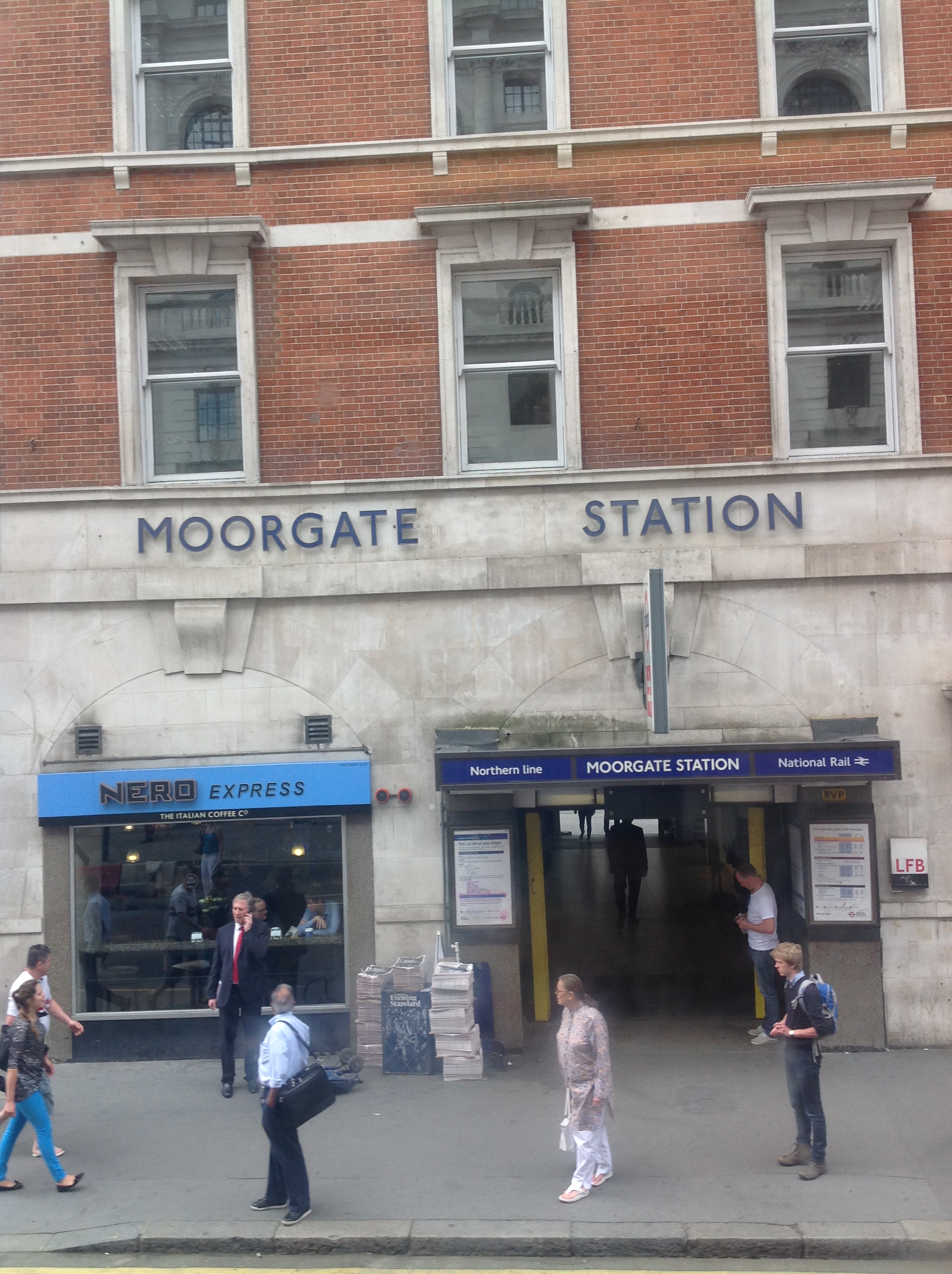
| Moorgate Station, 07/07/2014 | Class31 | Wednesday 6th of August 2014 03:33:02 PM | 
 
             
  ![[EAW000511] Bomb damage and clearance around Moorgate Street Station, London, 1946](http://britainfromabove.org.uk/sites/all/libraries/aerofilms-images/public/100x100/EAW/000/EAW000511.jpg) 
  
                                          ![[EAW000513] Bomb damage and clearance around Moorgate Street Station, London, 1946](http://britainfromabove.org.uk/sites/all/libraries/aerofilms-images/public/100x100/EAW/000/EAW000513.jpg) 
 ![[EAW049464] The bomb-damaged Cripplegate area (site of The Barbican Centre), London, 1953](http://britainfromabove.org.uk/sites/all/libraries/aerofilms-images/public/100x100/EAW/049/EAW049464.jpg) 
 ![[EPW055300] The area between St Martin's Le Grand and Bunhill Row, London, from the south, 1937](http://britainfromabove.org.uk/sites/all/libraries/aerofilms-images/public/100x100/EPW/055/EPW055300.jpg) 
 ![[EAW011116] Cleared sites around Moorgate Street Station and Jewin Crescent following bomb damage, London, 1947](http://britainfromabove.org.uk/sites/all/libraries/aerofilms-images/public/100x100/EAW/011/EAW011116.jpg) 
 ![[EAW026313] Finsbury Circus, Liverpool Street Station and the City of London, London, from the west, 1949](http://britainfromabove.org.uk/sites/all/libraries/aerofilms-images/public/100x100/EAW/026/EAW026313.jpg) 
 ![[EAW026314] Finsbury Circus, Liverpool Street Station and the City of London, London, from the west, 1949](http://britainfromabove.org.uk/sites/all/libraries/aerofilms-images/public/100x100/EAW/026/EAW026314.jpg) 
 ![[EAW011115] Cleared sites around Wood Street following bomb damage, London, 1947](http://britainfromabove.org.uk/sites/all/libraries/aerofilms-images/public/100x100/EAW/011/EAW011115.jpg) 
 ![[EAW011191] Cleared sites around Wood Street and Jewin Crescent following bomb damage, London, 1947](http://britainfromabove.org.uk/sites/all/libraries/aerofilms-images/public/100x100/EAW/011/EAW011191.jpg) 
 ![[EAW021730] A cityscape over central London, London, 1949. This image has been produced from a print.](http://britainfromabove.org.uk/sites/all/libraries/aerofilms-images/public/100x100/EAW/021/EAW021730.jpg) 
 ![[EAW011192] Coleman Street and cleared areas around Moorgate Street Station following bomb damage, London, 1947](http://britainfromabove.org.uk/sites/all/libraries/aerofilms-images/public/100x100/EAW/011/EAW011192.jpg) 
 ![[EAW011367] Bomb damaged and cleared areas around Red Cross Street (the site of the Barbican Centre), London, 1947](http://britainfromabove.org.uk/sites/all/libraries/aerofilms-images/public/100x100/EAW/011/EAW011367.jpg) 
 ![[EAW000514] Bomb damage and clearance around Moorgate Street Station, the Artillery Ground and environs, London, 1946](http://britainfromabove.org.uk/sites/all/libraries/aerofilms-images/public/100x100/EAW/000/EAW000514.jpg) 
 ![[EPW028614] St Paul's Cathedral and environs, London, 1929](http://britainfromabove.org.uk/sites/all/libraries/aerofilms-images/public/100x100/EPW/028/EPW028614.jpg) 


