
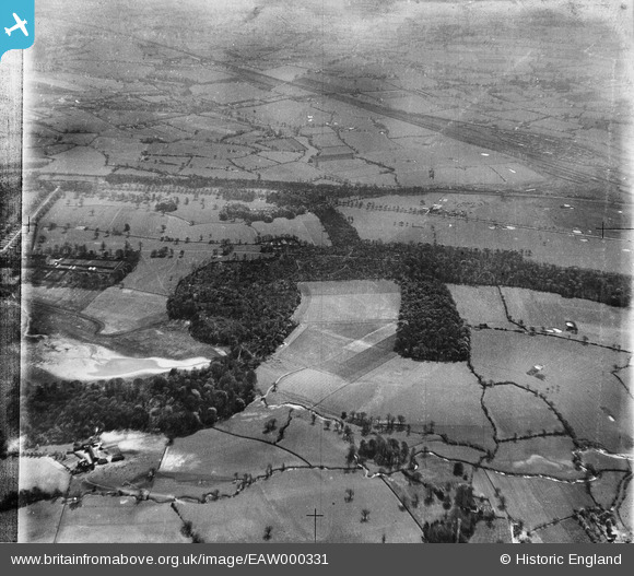
EAW000331 ENGLAND (1946). Quaker's Coppice, Rookery Wood and surrounding countryside, Crewe, from the north-east, 1946
© Copyright OpenStreetMap contributors and licensed by the OpenStreetMap Foundation. 2026. Cartography is licensed as CC BY-SA.
Nearby Images (3)
EAW000331

 0°
0m
0°
0m
EAW000322
 65°
167m
65°
167m
EAW000323
 326°
183m
326°
183m
Details
| Title | [EAW000331] Quaker's Coppice, Rookery Wood and surrounding countryside, Crewe, from the north-east, 1946 |
| Reference | EAW000331 |
| Date | 19-April-1946 |
| Link | |
| Place name | CREWE |
| Parish | |
| District | |
| Country | ENGLAND |
| Easting / Northing | 372431, 353779 |
| Longitude / Latitude | -2.4116047739457, 53.080223578175 |
| National Grid Reference | SJ724538 |
Pins
Be the first to add a comment to this image!