
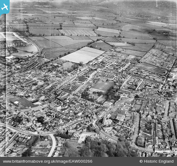
EAW000266 ENGLAND (1946). The town, Rushden, 1946
© Copyright OpenStreetMap contributors and licensed by the OpenStreetMap Foundation. 2026. Cartography is licensed as CC BY-SA.
Nearby Images (8)
EAW000266

EAW000269

EAW000264

EAW000270

EAW000267

EAW000265

EAW000268

EAW000271

Details
| Title | [EAW000266] The town, Rushden, 1946 |
| Reference | EAW000266 |
| Date | 15-April-1946 |
| Link | |
| Place name | RUSHDEN |
| Parish | RUSHDEN |
| District | |
| Country | ENGLAND |
| Easting / Northing | 496011, 266933 |
| Longitude / Latitude | -0.59211289182131, 52.291738415301 |
| National Grid Reference | SP960669 |
Pins

John W |
Monday 4th of July 2016 04:24:19 PM | |

melgibbs |
Thursday 19th of February 2015 07:27:47 PM | |
|
melgibbs |
Thursday 19th of February 2015 03:42:34 PM | |
|
melgibbs |
Thursday 19th of February 2015 03:35:03 PM |