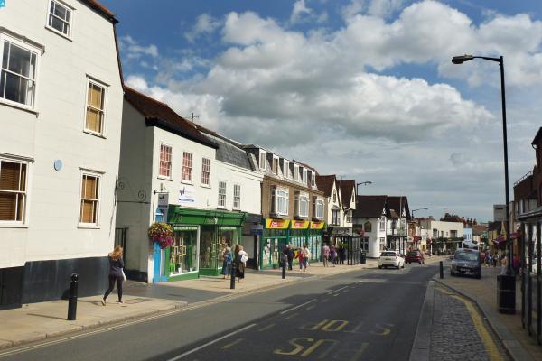
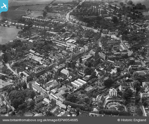
epw054685 ENGLAND (1937). The town centre, Maldon, 1937
© Copyright OpenStreetMap contributors and licensed by the OpenStreetMap Foundation. 2024. Cartography is licensed as CC BY-SA.
Nearby Images (7)
EPW054685

EAW001529

EAW021831

EAW001528

EPW022345

EPW054677

EAW001527

Details
| Title | [EPW054685] The town centre, Maldon, 1937 |
| Reference | EPW054685 |
| Date | 2-August-1937 |
| Link | |
| Place name | MALDON |
| Parish | MALDON |
| District | |
| Country | ENGLAND |
| Easting / Northing | 584949, 207031 |
| Longitude / Latitude | 0.67852493109123, 51.730979473732 |
| National Grid Reference | TL849070 |
Pins
 Doug |
Tuesday 27th of May 2014 09:05:32 PM | |
 Alan McFaden |
Tuesday 9th of July 2013 11:32:06 PM | |
Alan McFaden |
Tuesday 9th of July 2013 11:31:01 PM | |
Alan McFaden |
Tuesday 9th of July 2013 11:27:03 PM | |
Alan McFaden |
Tuesday 9th of July 2013 11:26:21 PM | |
Alan McFaden |
Tuesday 9th of July 2013 11:24:46 PM |