
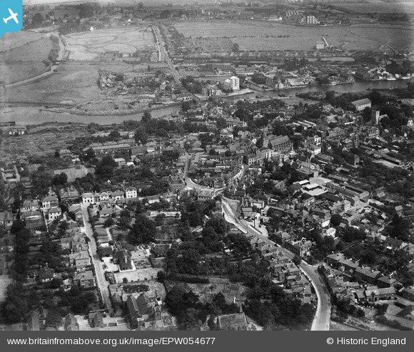
EPW054677 ENGLAND (1937). The town centre, Maldon, from the south-west, 1937
© Copyright OpenStreetMap contributors and licensed by the OpenStreetMap Foundation. 2024. Cartography is licensed as CC BY-SA.
Nearby Images (5)
EPW054677

EPW022345

EAW001529

EPW054685

EAW001528

Details
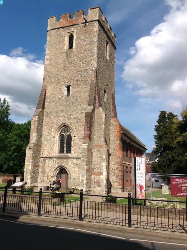
| Title | [EPW054677] The town centre, Maldon, from the south-west, 1937 |
| Reference | EPW054677 |
| Date | 2-August-1937 |
| Link | |
| Place name | MALDON |
| Parish | MALDON |
| District | |
| Country | ENGLAND |
| Easting / Northing | 584738, 206946 |
| Longitude / Latitude | 0.67542760665192, 51.730285548477 |
| National Grid Reference | TL847069 |
Pins

User Comment Contributions
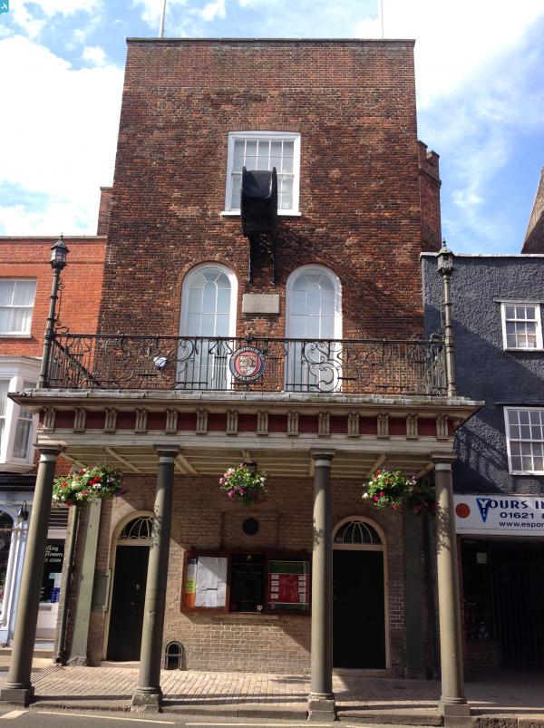
 Moot Hall, Maldon 25/05/2014 |
 Class31 |
Tuesday 27th of May 2014 02:33:29 PM |