
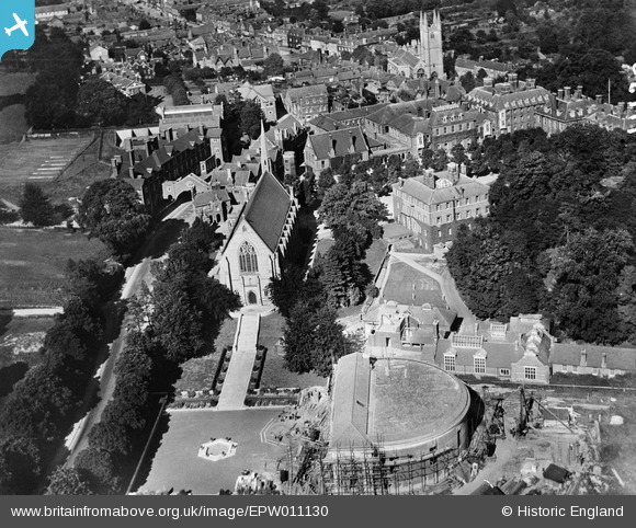
epw011130 ENGLAND (1924). Marlborough College, Marlborough, 1924
© Copyright OpenStreetMap contributors and licensed by the OpenStreetMap Foundation. 2024. Cartography is licensed as CC BY-SA.
Nearby Images (6)
EPW011130

EPW011131

EAW007063
 in the grounds of Marlborough College, Marlborough, 1947")
EAW007062
, Marlborough, 1947")
EPW011132

EAW007064
, Marlborough, 1947")
Details
| Title | [EPW011130] Marlborough College, Marlborough, 1924 |
| Reference | EPW011130 |
| Date | July-1924 |
| Link | |
| Place name | MARLBOROUGH |
| Parish | MARLBOROUGH |
| District | |
| Country | ENGLAND |
| Easting / Northing | 418367, 168740 |
| Longitude / Latitude | -1.7358489861108, 51.416885181475 |
| National Grid Reference | SU184687 |
Pins
User Comment Contributions
 Marlborough |
 Alan McFaden |
Tuesday 25th of November 2014 05:36:27 PM |
 Marlborough |
Alan McFaden |
Tuesday 25th of November 2014 05:36:03 PM |
_1.jpg) Saint Peter and Saint Paul Church Marlborough |
Alan McFaden |
Tuesday 25th of November 2014 05:35:35 PM |
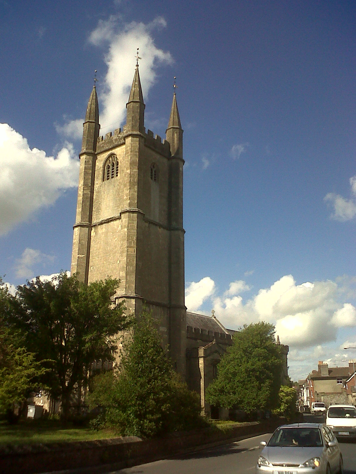 St. Peter & St. Paul's Church |
 Class31 |
Wednesday 31st of July 2013 10:49:27 AM |
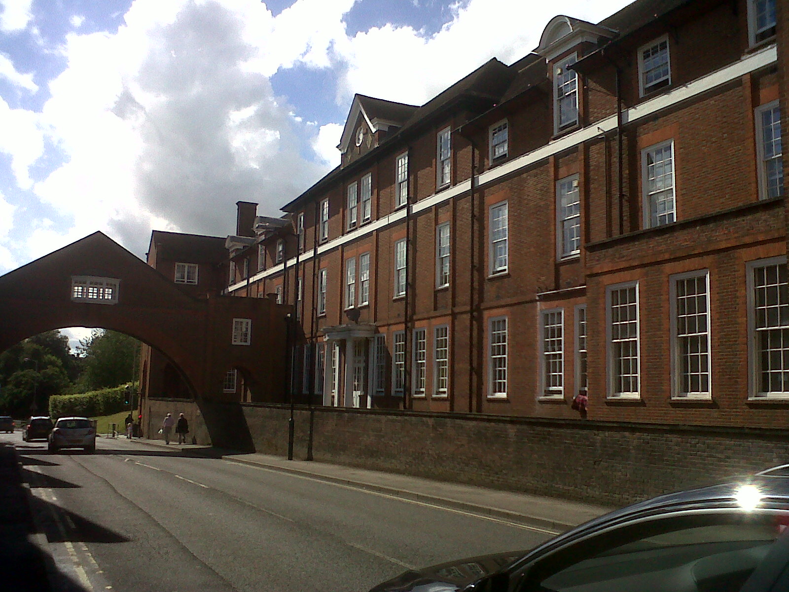 View west of Bath Road showing footbridge. |
Class31 |
Wednesday 31st of July 2013 10:46:52 AM |
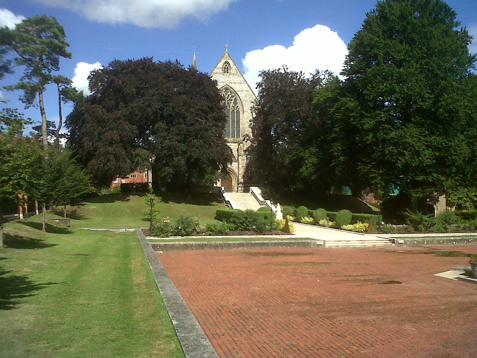 Chapel looking east. |
Class31 |
Wednesday 31st of July 2013 10:38:40 AM |
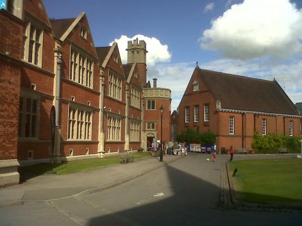
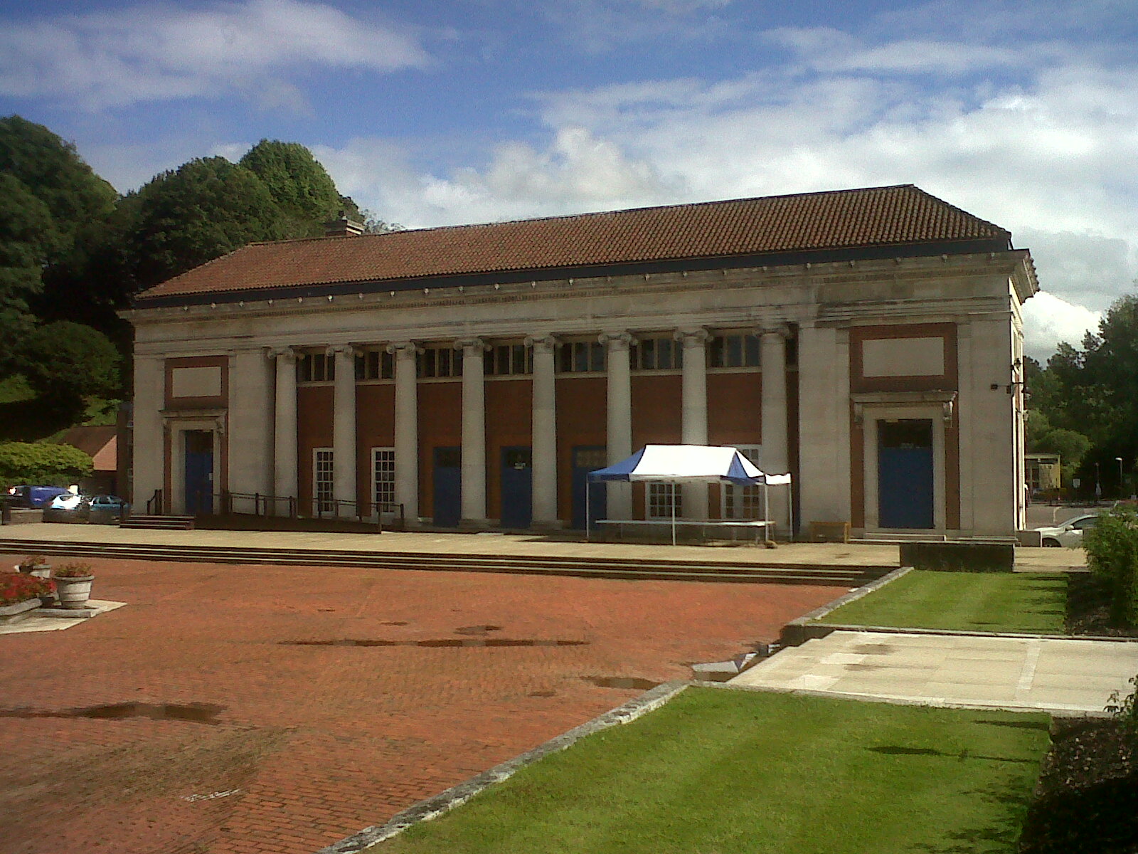 View looking south at college building. |
Class31 |
Wednesday 31st of July 2013 10:35:28 AM |