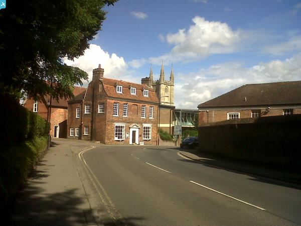
EPW011132 ENGLAND (1924). Marlborough College, Marlborough, 1924

© Copyright OpenStreetMap contributors and licensed by the OpenStreetMap Foundation. 2024. Cartography is licensed as CC BY-SA.
Nearby Images (7)
EPW011132

EAW007062
, Marlborough, 1947")
EAW007064
, Marlborough, 1947")
EPW011131

EPW011130

EAW007063
 in the grounds of Marlborough College, Marlborough, 1947")
EAW034900

Details
| Title | [EPW011132] Marlborough College, Marlborough, 1924 |
| Reference | EPW011132 |
| Date | July-1924 |
| Link | |
| Place name | MARLBOROUGH |
| Parish | MARLBOROUGH |
| District | |
| Country | ENGLAND |
| Easting / Northing | 418460, 168694 |
| Longitude / Latitude | -1.734513887846, 51.416468503093 |
| National Grid Reference | SU185687 |