
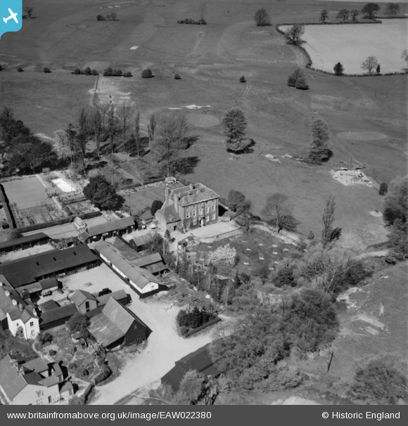
eaw022380 ENGLAND (1949). Hammonds End House and Harpenden Golf Course, Redbourn, 1949
© Copyright OpenStreetMap contributors and licensed by the OpenStreetMap Foundation. 2025. Cartography is licensed as CC BY-SA.
Nearby Images (5)
EAW022380

EAW022377

EAW022376

EAW022379

EAW022378

Details
| Title | [EAW022380] Hammonds End House and Harpenden Golf Course, Redbourn, 1949 |
| Reference | EAW022380 |
| Date | 19-April-1949 |
| Link | |
| Place name | REDBOURN |
| Parish | HARPENDEN RURAL |
| District | |
| Country | ENGLAND |
| Easting / Northing | 512384, 212249 |
| Longitude / Latitude | -0.37010381070306, 51.797133644492 |
| National Grid Reference | TL124122 |
Pins
Be the first to add a comment to this image!